Showing posts with label sagebrush sea. Show all posts

Monday, July 28, 2014

Into the Volcanic Zone ~ June 24, 2014

It's definitely about the journey and not the destination. There are stunning views and history at every bend in the road. After breakfast we pick up Hwy 97 south. It's partly cloudy and a lot cooler than it could have been out here in the Sage Brush Sea. To our right are some of the snow capped mountains of the Cascades: Three Fingered Jack, Mt. Washington, Sisters, and Broken Top.


We crossed over a deep gorge you can't see until you're in the middle of the bridge. Simply had to turn back and take a closer look. We find three stunning bridges arching over a 300 foot gorge and the Crooked River. There is a beautiful park out here in the middle of nowhere with historical signage, miles of trails and a large picnic area. 


The railroad bridge was completed in 1911. The incentive for the crossing was to reach vast stands of timber to the north. It's 320 feet above the river and is the second highest railroad bridge in the US. 

High Bridge 
Photo Credit Michael Goff

The Crooked River High Bridge was completed in 1926. It was the old Hwy 97 bridge and now it's a footbridge within the park, providing a one of a kind observation platform. 


The Rex T. Barber Veteran's Memorial Bridge was completed in 2000 to replace the High Bridge which could no longer handle modern traffic. It's named for a local war hero who, in 1943, achieved World War II fame as the fighter pilot who shot down the airplane carrying Japanese Admiral Yamamoto, mastermind of the Pearl Harbor attack. 

As is our habit, we chat with other travelers. One told us if we haven't been to Smith Rock, it was a must stop. Since it was just down the road we turned left at Terrabonne and headed east to the park. It was as described and more. Volcanic activity expresses itself in a myriad of ways and this spot will take your breath away. There are trails for all skill levels. It's also a popular spot for climbers. Truly worth a stop and a walkabout. Bring a picnic. 


Smith Rock Park

One of the Smith Rock Park Trails

After our picnic at Smith Rock we head south again. Next stop is Lava Lands just south of Bend. It seems a desolate place at first, but when you slow down and take a second look there is a lot to discover. There is signage throughout the park to explain the history and dynamics of the area. 

 Local Denizen

Mountain Spray

 Lava Snow Balls

Lava Ness Monster


A full day to say the least. We found a great spot to stay in Klammath Falls, called it a day and curled up and read after dinner.  Off to California tomorrow.

Thursday, February 9, 2012

The Road to Elko 2012 ~ Day 2

We awaken to find a dusting of fresh snow on the foothills that surround Reno. Cumulus ships of white, black and grey dot the horizon to the East. It's about 300 miles to Elko through the high desert of the Silver State. The posted speed limit is 75 mph, and being a California girl I feel like I'm getting away with something.

It's a wide open sage brush sea, broken only by waves that are a series of mountain ranges. There are surprises in store as you crest each summit. To my great grand elders coming across this openness by horseback and wagon to Genoa it must have seemed an endless journey. I have such unbridled respect for all who came and took on the challenges of settling this land. It isn't an easy existence now, but imagine what it would have been like in the 19th and early 20th centuries?

Sage or Artemisia tridentata is the Nevada state flower. In Greek mythology Artemis is the goddess of the wilderness. Her main vocation was to roam mountain forests and uncultivated lands to help protect the well-being, safety and reproduction of the wild animals. She was, however, a contradictory and vindictive lass, and much like the whims of the desert, always unpredictable.


As we head east it appears that storms are brewing in our path, but as we approach the leaden clouds, the road gently angles away and the squals pass harmlessly to the left or right of where we're headed. A mystical clearing of our trail.

Winnemucca is a little past half way so we stop for lunch. Interstate 80 runs through town and population wise it's about the size of our home town of Sebastopol. We discover a little hole in the wall called "The Griddle". The food and service were excellent, so if you're ever passing through Winnemucca forget the casinos and head there.


Refueled and rehydrated we hit the road for the remaining drive to Elko. We run into a little hail and a sprinkling of snow but no harm, no foul. People out here understand driving in these conditions, unlike our home territory where drivers seem "put their stupid on" at the first rain.

We arrive at the Gold Country Inn about 4pm and commence to unpack ~ everything. We'll be here for 4 nights and want to get the wrinkles out of us and our wearables. The hotel is close to the venues and has comfortable rooms, a good restaurant, a small casino, and bar with live music. About 6:30 we meet up with about a dozen old and new friends downtown at Machi's for dinner and then call it a night.

We head back to the Inn and start planning our first full day. Last years list of activities was in chronological order, regardless of venue, easy to underline shows you had tickets for and then fill in with free shows and workshops as time permitted. For some reason this year's schedule was printed by venue so you had to keep flipping back and forth to check for time conflicts, a total pain the tuckus, but we tackled Thursday's events and took our best shot with a handwritten list.


I got hooked on the National Cowboy Poetry Gathering (henceforth called the Gathering in my posts) because it's a celebration of the west. Through poetry, music, storytelling, film, art and workshops history is kept alive and each year brings new awareness. Cowboy culture and family ranching survives around the world in spite of politics, global warming and governments. These dedicated souls grow our food, raise our meat and respect the land they caretake for future generations.

A full day and we just got here ~ sleep comes quickly and as softly as a fox in the night. Tomorrow the Gathering unfolds.

Wednesday, June 1, 2011

Wordsmith Series ~ Post Script

Driving east on 299
Heading for the Oregon Outback
North of the Southeast border on old 395
On our way to the sagebrush sea
 Home to the ponderosa and juniper tree
Travelling the Emigrant Trails Scenic Byway
To see who's been on the migration flyway
~
The scenery is hard to beat
and it's time to give our buns a rest
And fix a bite to eat
So we stop on the crest of a mountain pass
With a vista that made us gasp
~
Delighted with the visual treats
We turn to look around
And suddenly have to take a seat
~
Cowboys in chaps and rigging exiting a dusty pickup
A tempting photographic moment
Until they step out into the road
They’re walking Pomeranians
Leashed and coated for the cold
All I can think of is the perfect raptor lunch
Furry with a bit of crunch
~
What’s happened to the cowboy?
Where have all the ranch dogs gone?
The ones who rode shotgun in a pickup bed
And worked all day
For just a pat upon the head

~~~~~~~~~

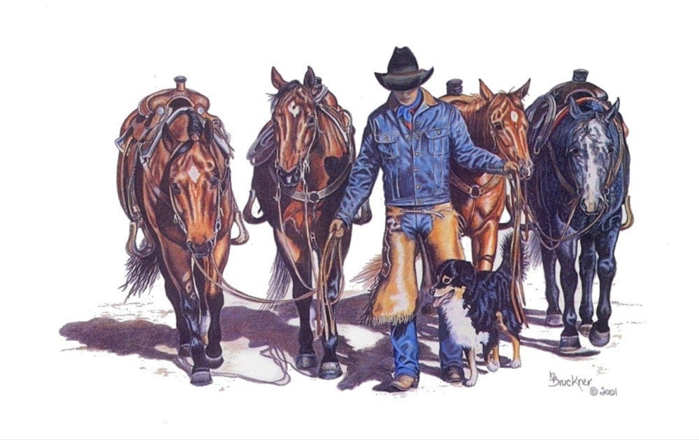
Thanks to these Etsy artisans I've regained my senses
 
Blue Heeler and Pasture

"Cowboy Accessories"
 
Cowboy Break Time

Sunday, May 29, 2011

Up to Hart Mountain ~ May 22nd


Slept like logs last night, it's remarkable what a little exercise will do for the soul! We must bid adieux to Trisha, Leland and Annie the Wonder Dog this morning as they head home to Idaho. After breakfast and goodbyes we once again pile into Ken and Betty's trusty CRV and head out for the Hart Mountain National Antelope Refuge (over 240,000 acres).

It's located on a massive fault block ridge that ascends nearly three quarters of a mile above the Warner Valley floor. We pull into the first scenic viewpoint on the way up Hart Mountain for a short walk and are absolutely stunned by the expansive views of the valley. This is one of those places when you say to yourself "What population problem?"

We're only part way up the mountain

The Warner Valley

The Rodster

The east side of Hart mountain is less precipitous and descends in a series of rolling hills and low ridges: a sagebrush sea, sprinkled with juniper and bunch grass, that is typical of SE Oregon and the Great Basin. Aspen and pine are also found in the canyons and on the steep rim. Below are a couple of locals, the beauty on the left is a meadowlark.


Since its creation in 1936 as a range for remnant herds of pronghorn antelope, the refuge has broadened to include conservation of all wildlife characteristic of this high desert habitat, more than 300 species. At the high point of the refuge is the visitors center. I'm totally smitten with the residential buildings. Though I've not been able to confirm it, my guess is they were built in 30's or 40's. What an incredible place to live and work. If you like solitude this would be heaven.


Ah, but here is what we came to see, the Pronghorn antelope. It took us bit of exploring but the wait was worth it. It's so amazing to see these beautiful creatures in the wild.


They are curious enough to watch us but wary enough to know when to go. It's quite a site to see them race across the landscape. A special thanks to Leland for trusting me with his telephoto lens!


After a long day on the range we take a different route home and discover more picturesque landscape, rivers and ranches. Absolutely toast by the time we get back to camp, we decide it's time for dinner and a nap. Another excellent adventure. We reluctantly head for home tomorrow.